Artificial intelligence
All case studies
- Artificial intelligence
- Industry
Recognising industrial roofs from satellite imagery
A computer vision system that finds, measures and classifies industrial roofs starting from satellite imagery.
The starting point
For companies that renovate roofs, remove asbestos or install solar systems, the first problem is finding the right buildings. It usually means driving around industrial areas, checking maps and visiting sites, one building at a time.
Satellite images already show everything. The hard part is reading them systematically, across whole areas, and turning them into a list to work from: which roofs are there, how big they are, what they are made of and who is underneath.
How it works
- 1Start from an areaSatellite imagery, orthophotos and open-source mapping of the area to analyse.
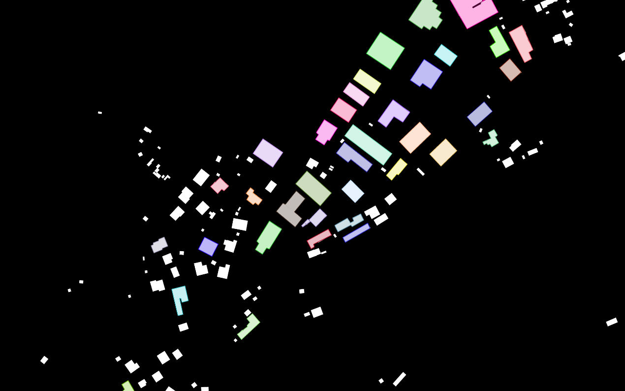
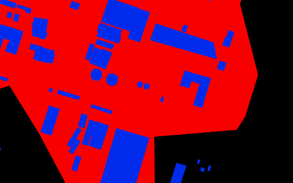
- 2Find the buildingsBy matching map and image it detects building outlines and splits them into roof sections.
- 3Measure and linkIt calculates area and perimeter in metres, crops each roof and links it to the nearest businesses.
- 4ClassifyFour models recognise structure, material, solar panels and whether the roof is new.
What it recognises on each roof
StructureFlat, saw-tooth, vaulted, gable…
MaterialMembrane, metal, fibre cement and asbestos, among others.
Solar panelsWhether there is already a system on the roof.
ConditionWhether the roof is new or not.
How it learns
The models do not start from scratch. A neural network already trained on a large image archive acts as the “eye”: from each crop it extracts the visual features that matter. On top of it work four smaller classifiers, one for each question.
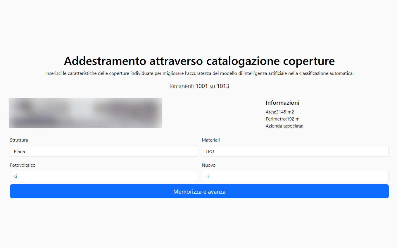
The classifiers are trained on roofs catalogued by the client’s technicians with a purpose-built web tool: for each crop they see area and perimeter, and enter structure, material, solar panels and whether the roof is new. The people who know the trade teach the system to recognise what they see every day. This approach, transfer learning, works well even without huge numbers of examples, and the models are retrained as more catalogued roofs are added.
What changes
Instead of searching for buildings one by one, you start from a list of roofs that are already measured and classified, with the businesses that occupy them. You decide where to visit and whom to approach with the numbers already in hand: surfaces, materials, presence of asbestos or of a solar system.
More case studies
Artificial intelligence
Asset inventory with image recognition
Read the case study
Industry
Industry 4.0 in food: MES and machine integration
Read the case studyWe are always curious to hear how your needs are changing
Half an hour on Teams: you tell us where you are heading, we tell you frankly whether and how we can be of use.