Map and optimisation
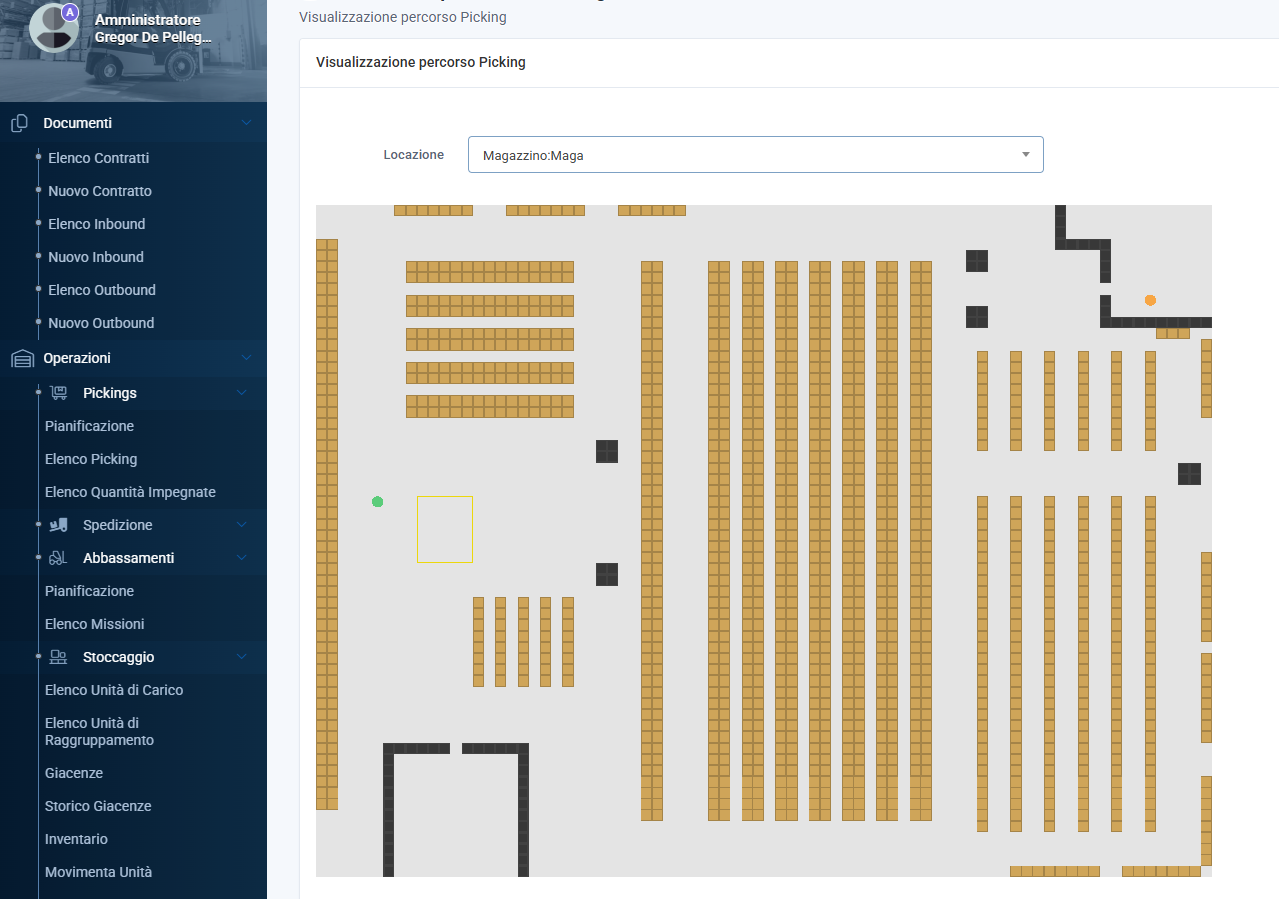
The system works on the real warehouse floor plan, with aisles, racks, obstacles and directions of travel, and uses it to save distance, time and space.
The warehouse map
The floor plan is drawn once and linked to the locations. It becomes the basis for calculations and for viewing occupancy, including in 3D.
Real routes, not as the crow flies
Distances are calculated along the actual paths, respecting aisles, obstacles and directions of travel.
The shortest picking tour
The system orders the locations to visit to reduce the distance walked. With priorities the tour is split: urgent items first, then the rest.
The right location, close to where it is needed
During put-away the system suggests, among the suitable locations, the one that is easiest to reach.
Stock in the picking area
Forecasts, average consumption and days of cover show which items to replenish before they run out.
The same optimisation techniques underpin our custom artificial intelligence projects.
Custom artificial intelligence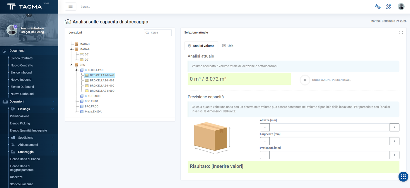
Want to see it in action?
We will arrange a demo based on your processes and look together at how to integrate it with the systems you already use.